Chatter News Photo Galleries and Information ________________________________________________
| Chatter News | Road to Vertebrae Glacier | Glacier Skiing | Bombardier Snowcat | Favorites |
| Lodge Life | Vertebrae Lodge | Solitude Lodge | Happy Campers | Pink Purse | Winter Staff |
Ski Photography by: | John Dougall | Mark Gallup | Dan Hudson | About Us | Site Map | Index |
| Chatter Creek Cat Skiing | Clamshell | Cut Blocks | East Ridge | Lodge Ridge | Great Links |
| Cat Skiing Terrain | Cat Skiing Articles | Flight to Chatter Creek | Travel to Golden | Email |
Terrain Quick Links: | South Side | West Side | Lodge Ridge | Megahooped | Glacier | East Ridge |

Monday, April 18, 2005

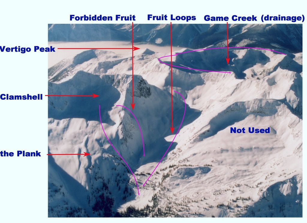
West Side and Oyster Bowl Cat Skiing Terrain

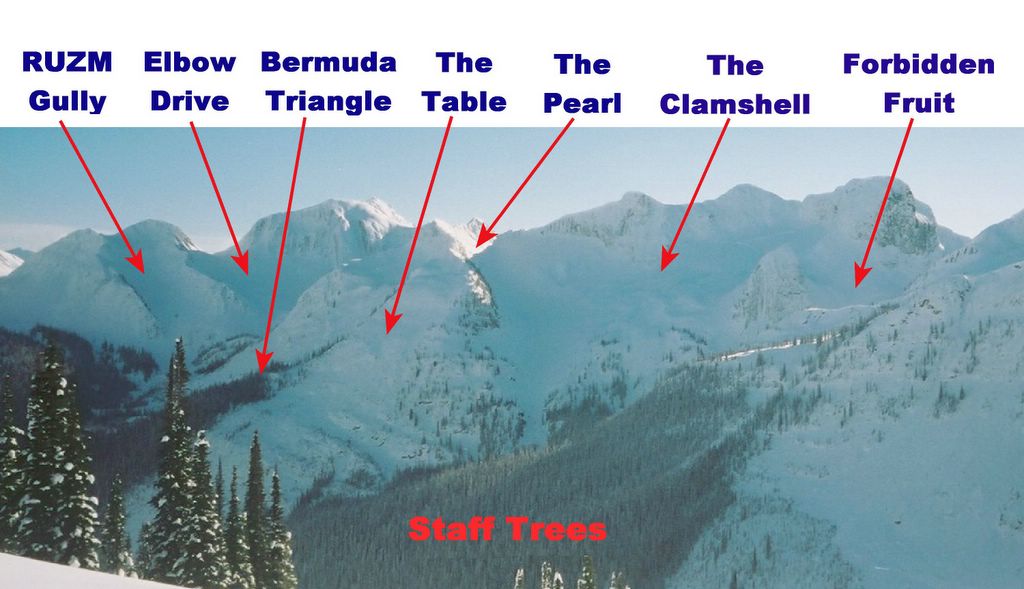
The West Side and Oyster Bowl Road leaves Vertebrae Lodge to the west. It climbs through the Staff Trees, passes the Lower Table, and rises through the Clamshell bowl to the Pearl, which is the col at the top of the ridge. A northern branch crosses high in the Clamshell to service Forbidden Fruit and the Plank. At the Pearl, the road crosses the ridge to the west and into Oyster Bowl in the anticipated Lakeside Addition to the Chatter Creek cat skiing tenure. In Oyster Bowl there is a branch north to Game Creek and a southern branch to the rest of the Lakeside Addition. The Game Creek branch has a secondary branch to the top of Fruit Loops, which drops back to the east to join Forbidden Fruit and the Plank near the Waterfall.

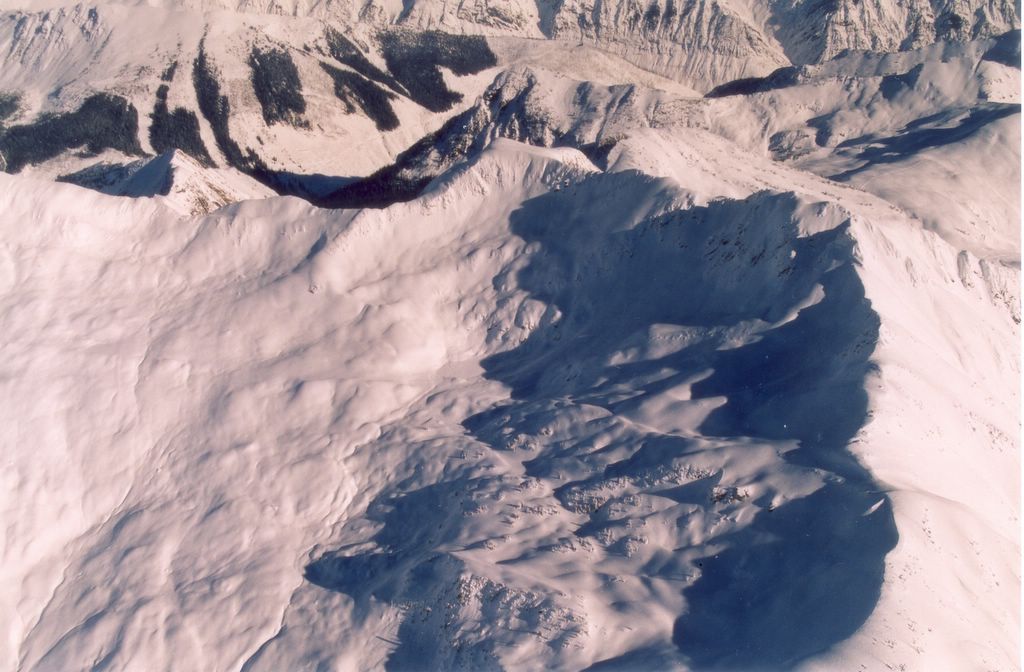
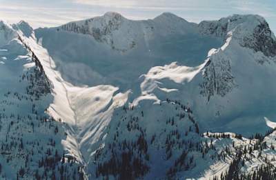
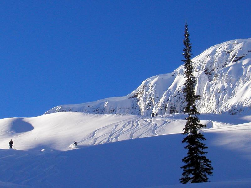
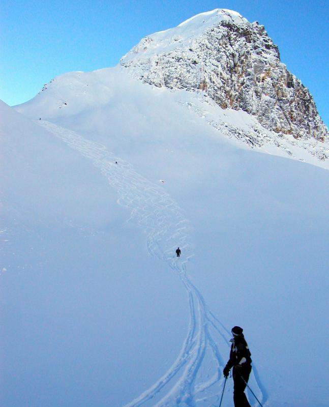
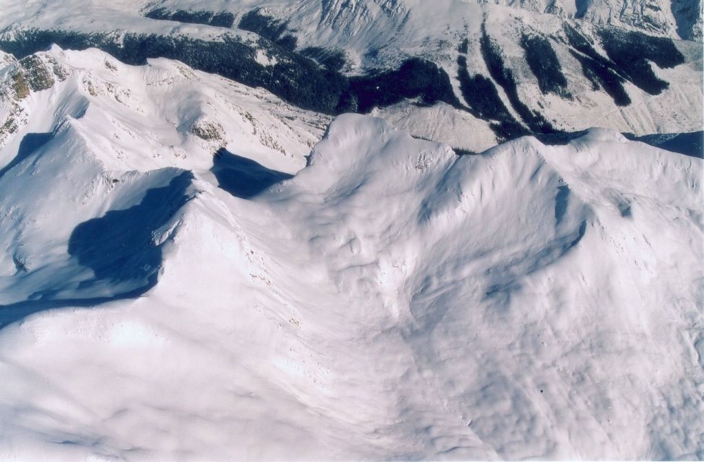
In the photo to the right, the West Side and Oyster Bowl Road can be seen climbing to the Pearl through the south end of the Clamshell. Click the photo to enlarge it. Click the link under the photo to see more of the Clamshell.
                                        Return to Road Network Index

Scroll down to view more West Side and Oyster Bowl Photography.

West Side Panorama at Chatter Creek Cat Skiing
A panorama of the ridge to the west of Vertebrae Lodge and the Chatter Creek valley. Click the photo to the right to see terrain names. The West Side and Oyster Bowl Road rises through the center of the photo, up the south end of the Clamshell. The rocky tower at the north end of the Clamshell is a noteable landmark. The ski run, "Forbidden Fruit" exits the Clamshell above the tower, "the Plank" exits below. Both drop into "Fruit Loops", which is hidden in this photo. For more photos, look at the Skiing the Clamshell photo gallery. The Staff Trees are in the lowder center of the photo and the Bermuda Triangle is the narrow stand of trees beyond the lower Table, to the left of center.

Staff Trees and the Lower Table


The view looking south from above Vertebrae Lodge. Staff Trees are in the lower portion of the photo, opposite to the Home Run cut block on lower Lodge Ridge (bottom left). The Bermuda Triangle is the next stand of trees beyond the Staff Trees. The alpine areas above the center of the photo include MCO, RUZM Gully and Elbow Drive.

The West Side and Oyster Bowl road climbs through the Staff trees and exits the photo to the right, where it crosses the Lower Table, in the center right side of the photo. Click the image to the right to see the names marked on the photograph.

Clamshell and Fruit Loops at Chatter Creek


The Clamshell, on the left, and the tower that marks its northern edge. Forbidden Fruit exits above the tower, and the Plank exits below. Both exits drop into the bottom of Fruit Loops , that runs at the edge of the shadow from upper right of the center of the photo to lower left. Just below the tree line, Fruit Loops passes over a headwall known as the Waterfall. The Plank skirts the Waterfall to the south. From the Waterfall, there is a short run along a creek back to the road.

The new Game Creek drainage appears in the background, mostly in shadow. Vertigo Peak can be seen in the background, against the mist covering Kinbasket Lake. This portion of the Chatter Creek cat skiing tenure lies in the Kitchen Range of the Canadian Rocky Mountains.

Click the image to the right to see ski run names. The entrance to Fruit Loops is from Oyster Bowl, shown in the next two photos to the right. The top of the Game Creek drainage is visible at the left of the last photo to the right.

Oyster Bowl South


Oyster Bowl, one of five large watersheds in the new (soon to be announced) Lakeside Addition to the Chatter Creek tenure. Oyster Bowl is entered through the Pearl, at the top of the Clamshell. The Pearl is on the ridgeline, near the left of the photo. East Ridge can be seen in the background. The photo shows the southern part of Oyster Bowl. The photo to the right shows a more northerly part of Oyster Bowl and the entrance to Fruit Loops

                                        Return to Road Network Index